


Dive into the Agrii library
With so much research and innovation at Agrii every day, we’re always creating new content, tools, and documents to put what we know at farmers’ fingertips.
Here you’ll find a treasure-trove of resources to help your farm business decisions.
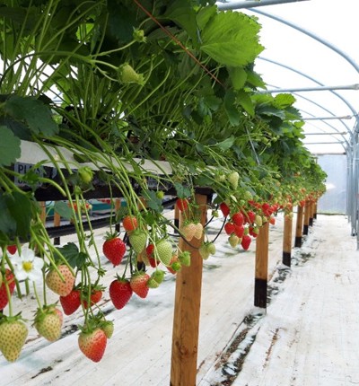
Agrii-Seed
Spring Seed Yearbook 2024
Maize Brochure
Cover Crop Technical Guide

Hi Bird Brochure

Grass and Roots
For England, Wales & NI

Grass and Roots Scotland
For Scotland
Autumn Seed Yearbook 2023
Products and Services
Vineyard Toolkit
Ancillary Product Guide

Livestock Brochure
Drainage Supplies Catalogue

Storage Tanks Catalogue
Children's Activity Booklet
Agrii Green Horizons Insight Reports
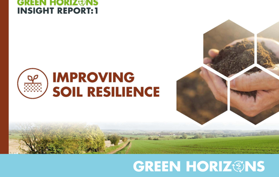
Improving Soil Resilience
Insight Report One
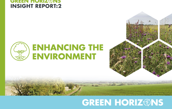
Enhancing the Environment
Insight Report Two
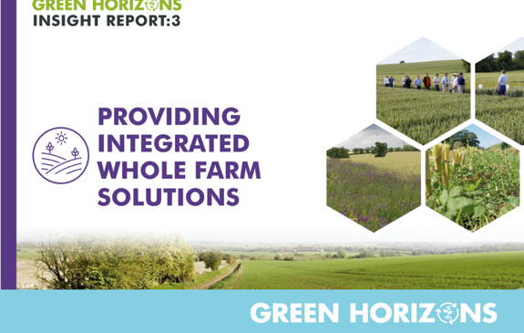
Integrated Whole Farm Solutions
Insight Report Three
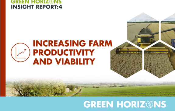
Increasing Farm Productivity
Insight Report Four
Extending Stakeholder Engagement
Insight Report Five
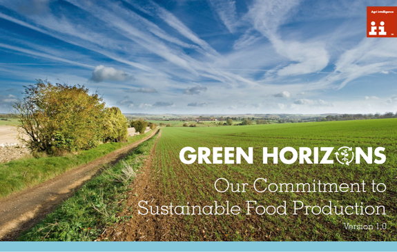
Sustainability Manifesto
Setting out our vision
Featured News
News - 07/12/23
‘The field of the future’: The Digital Technology FarmsWe have launched an innovative new project involving the use of several connected technologies that can be used to make agronomic decisions at field scale throughout the growing season.
News - 08/04/24
Guide: How to get the most out of a grassland reseed this spring
News - 04/04/24
Starter nutrition trials increase pea and bean yields by nearly 20%
News - 18/03/24
Get RMA weather stations & soil moisture probes via FETF118 grants
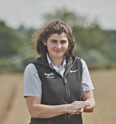
News - 08/03/24
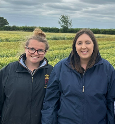
Shining a Spotlight on Women in Agriculture
News - 06/03/24
Farming for the Future: The Carbon-Cutting Potential of Incorporating Pulses and Legumes
From the farms
Get Inspired
Delve into inspiring farmer stories, case studies, and cutting edge research

How smaller farms can benefit from variable rate applications
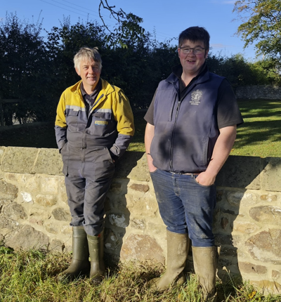
Innovation Award Winner: Luke Medd
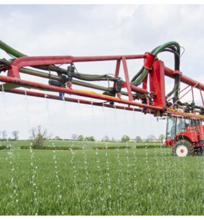
Taking the Liquid Approach

How can we become carbon neutral?

Agrii Joins Green Tractor Scheme
Looking for a career in Agronomy?
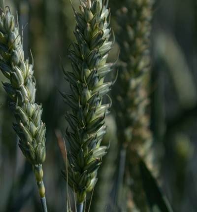
Regenerative trials show key advantages for most robust wheats
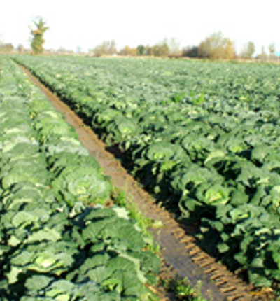
Endophytes deliver yield gains in cabbage trial
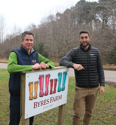
Showcasing sustainability success on Speyside
Botector trials highlight improved botrytis control
A day in the life of an Agronomist
Celebrating the vintage, embracing the future